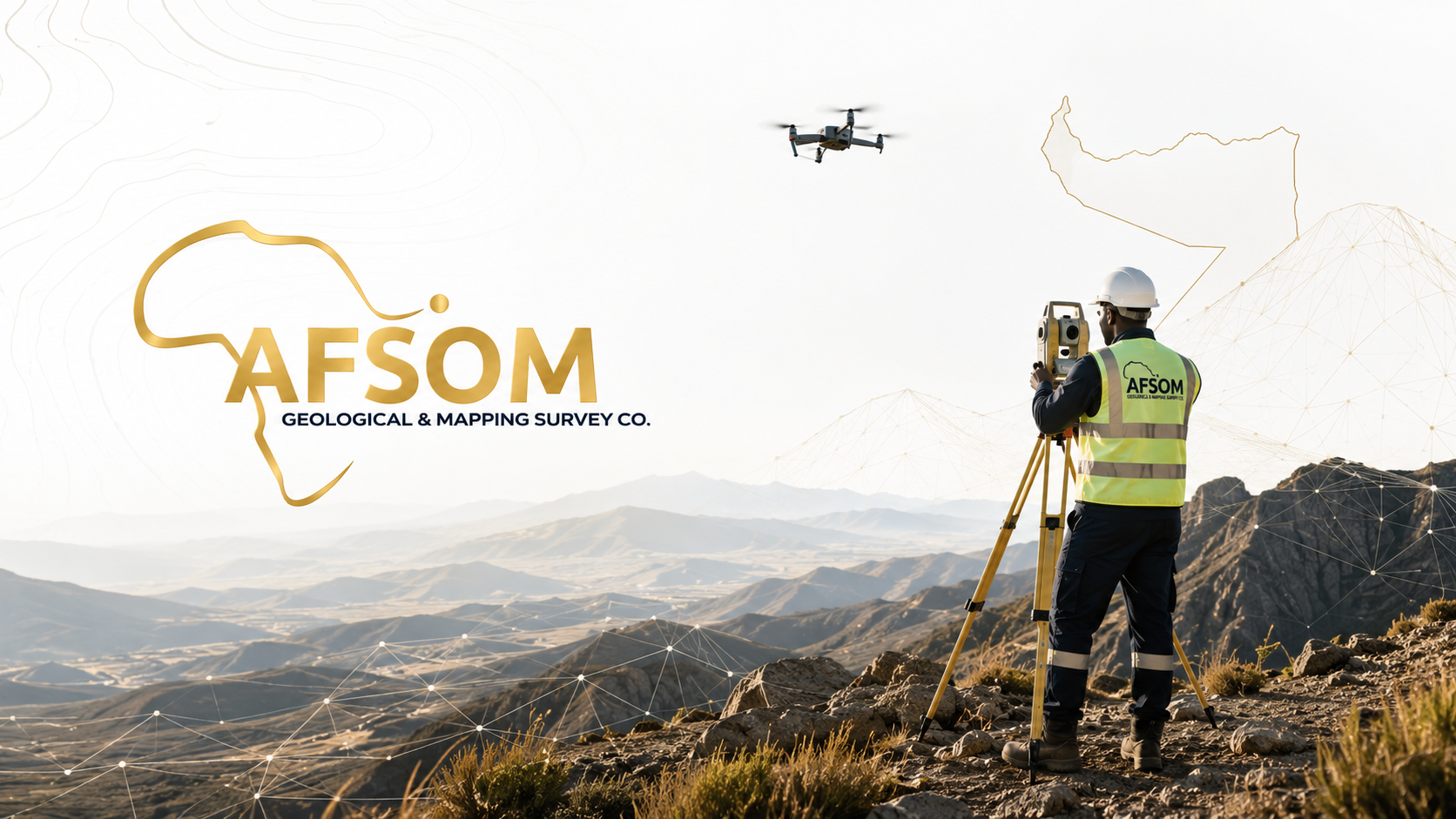
Geological Mapping
Professional geological mapping services including detailed lithological mapping, structural mapping, alteration mapping, mineralization mapping, GIS-based digital mapping, and geological cross-sections. Accurate maps for exploration and planning.
About Geological Mapping
Geological mapping translates complex field observations into clear, spatially accurate representations of the Earth's surface and subsurface. AFSOM produces detailed geological maps at scales appropriate to project requirements, from regional reconnaissance to prospect-scale detail. Every map integrates lithological boundaries, structural features, alteration patterns, mineralization indicators, and topographic context into a unified cartographic product that serves as an essential tool for exploration, planning, and development.
Key Service Areas:
- Detailed mapping
- Structural mapping
- Lithological mapping
- Alteration mapping
- Mineralization mapping
- GIS-based mapping
- Geological cross-sections
The Challenge
Accurate geological maps are critical for mineral exploration, infrastructure planning, and land-use decisions, yet many regions of Somaliland and the Horn of Africa lack modern, reliable geological cartography. Outdated or non-existent maps lead to inefficient exploration programs, misinformed investment decisions, and increased geological risk. Producing high-quality geological maps requires skilled field geologists, modern GIS technology, and rigorous quality assurance throughout the mapping workflow.
Our Solution
AFSOM combines systematic field mapping with modern GIS and remote sensing technology to produce accurate, publication-quality geological maps. Our geologists capture field observations digitally, integrate multiple data layers, and apply rigorous cartographic standards to deliver maps that are both scientifically robust and visually clear. Every map is accompanied by explanatory notes and cross-sections that make the geological information accessible to technical and non-technical stakeholders alike.
What We Cover
Reconnaissance mapping at regional to district scales to establish broad geological frameworks
Detailed prospect-scale mapping for mineral exploration and resource evaluation projects
Structural mapping documenting fold geometry, fault networks, and kinematic indicators
Lithological mapping delineating rock unit boundaries, facies changes, and stratigraphic relationships
Alteration mapping identifying hydrothermal alteration zones, weathering profiles, and geochemical halos
Mineralization mapping recording mineral occurrences, vein systems, and ore mineral distribution
GIS-based digital mapping with attribute-rich spatial databases for analysis and integration
Construction of geological cross-sections illustrating interpreted subsurface geometries
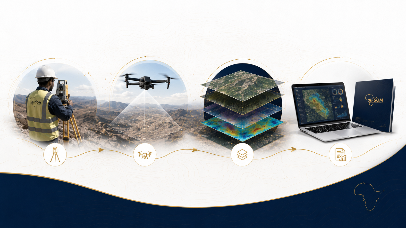
How We Work
A structured approach delivering reliable results at every stage.
Pre-Field Compilation
We compile existing geological data, process satellite imagery, and prepare digital base maps with preliminary remote sensing interpretations.
Field Mapping Campaign
Geologists systematically traverse the area recording lithological contacts, structural measurements, and mineral occurrence data using GPS-enabled field tablets.
Digital Cartography
Field data is transferred to GIS where geological boundaries are digitized, attributed, and refined using satellite imagery and terrain models.
Interpretation and Cross-Section Construction
Geological relationships are interpreted to produce cross-sections that illustrate the three-dimensional subsurface geometry of mapped units and structures.
Final Map Production
The geological map is cartographically styled with legends, scale bars, coordinate grids, and explanatory marginalia for professional presentation.
Technology We Use
ArcGIS and QGIS platforms
Industry-standard GIS software for digital mapping, spatial analysis, and cartographic production.
Field GIS applications
Mobile data capture with GPS integration, digital field notebooks, and photo-geotagging capabilities.
Remote sensing imagery
Satellite and aerial imagery used for geological interpretation, boundary refinement, and base map preparation.
Digital elevation models
Terrain data supporting geological boundary interpretation, structural analysis, and cross-section construction.
Stereographic projection software
Structural data analysis and visualization for understanding deformation patterns and kinematics.
What You Receive
Digital geological map at an appropriate scale with lithological units, structures, and symbols
Printable map layout in PDF and high-resolution formats suitable for reports and presentations
GIS geodatabase containing all spatial data layers with full attribute tables and metadata
Geological cross-sections through key structural or stratigraphic features
Explanatory notes describing map units, structural interpretation, and geological history
Structural data analysis including stereographic projections and statistical summaries
Why This Matters
Provides a spatially accurate geological reference that can be used throughout the project lifecycle
Supports exploration targeting by highlighting prospective lithologies, structures, and alteration zones
Enables informed land-use planning, infrastructure routing, and engineering site selection
Serves as a foundation for resource estimation, hydrogeological studies, and geotechnical investigations
Facilitates regulatory reporting and stakeholder communication with clear visual geological information
Discuss This Service
Ready to explore how geological mapping can support your project? Get in touch with our team for a detailed discussion about your requirements.
We respond to all enquiries within two business days.